

Forest fires: how AI, satellites, and drones can help fight them
Listen to this article
Read aloud by your browser. No audio file is downloaded.
Spoken by your browser. This is not a recorded audio file. The time shown is an estimate.
If you are deciding now, keep forest fires in view before the price or the spec sheet.
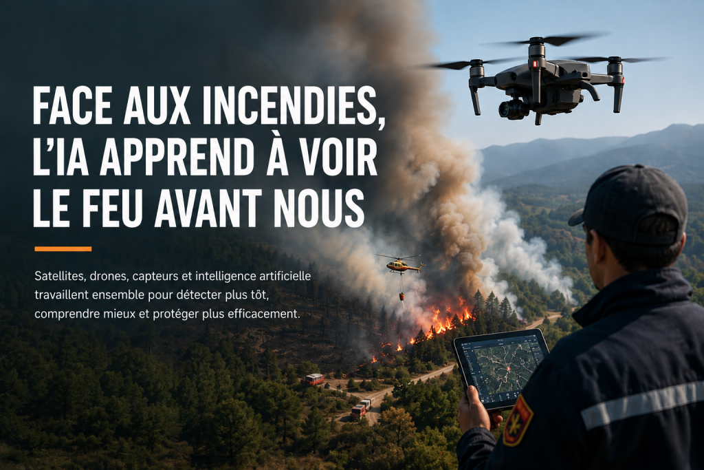
Facing fires, AI learns to see the blaze before we do
A forest fire does not always begin as a wall of flames visible from several kilometres.
Sometimes it all starts with a hot spot, smoke that is hard to make out, or a small anomaly across a vast area.
The real challenge is then a race against time.
Even before teams can reach the area, they need to know that a problem exists, determine where it is, and understand how it is likely to evolve.
This is precisely where technology is gradually changing the way fires are monitored.
Satellites, cameras, sensors, drones, mapping systems and artificial intelligence can now be used as the different pieces of one and the same system.
The aim is not to replace firefighters.
The aim is much simpler: to let them see earlier and decide with more information.
🔥
Earlier detection
Technology can help detect some signs of a fire more quickly and improve monitoring of areas at risk.
🛰️
Satellite monitoring
Satellites make it possible to observe vast territories and certain anomalies linked to heat or to the way an area is changing.
🚁
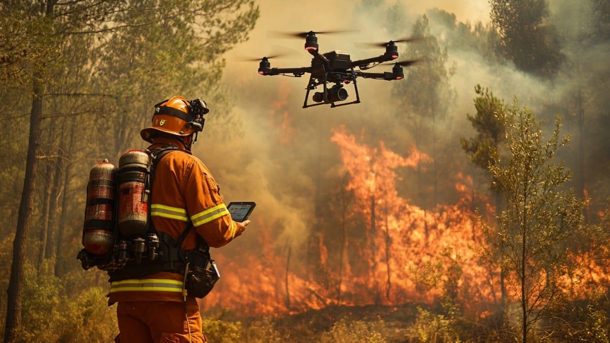
Drones and thermal cameras
Drones can provide a close view of an area that is difficult or dangerous to reach.
🧠
AI and data analysis
Artificial intelligence can analyse different data sources in order to identify certain anomalies and trigger an alert that still needs to be checked.
A forest can now be observed from several angles
From the ground, monitoring a large forest is extremely difficult.
From the air and from space, the situation changes.
Satellites make it possible to observe vast territories and to detect certain anomalies linked to heat or to the way an area is changing.
Cameras installed on the ground can monitor defined sectors continuously.
Drones can then provide a much more precise view of a particular area.
None of these technologies is perfect on its own.
What becomes useful is the way they complement one another.
AI: turning a mass of data into an alert signal
A camera can produce a huge number of images.
A satellite can generate data over an immense area.
Sensors can measure environmental variables continuously.
The problem then becomes: how can all of this be analysed quickly enough?
This is where AI can bring real value.
It can be trained or configured to look for certain anomalies in images and data: smoke, a thermal change, an unusual development, or a combination of conditions that favour a fire.
The process can be summarised as follows:
Data → analysis → anomaly → alert → human verification.
This last step is essential.
An automatic alert is not absolute proof that a fire is under way.
Satellites: the first look on a large scale
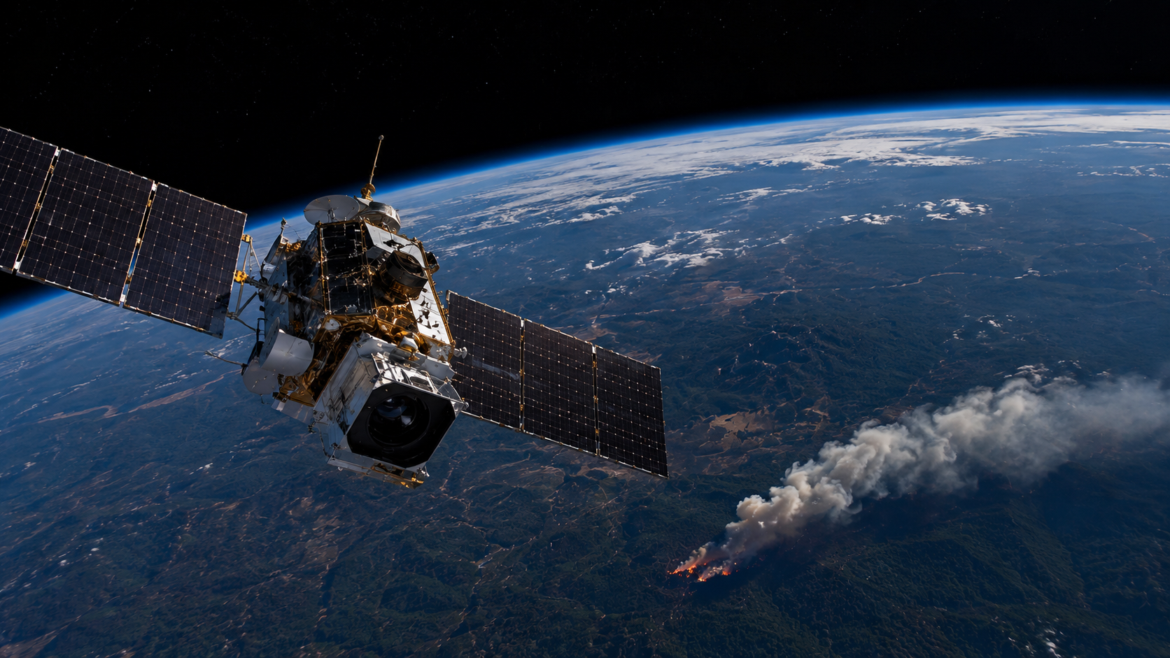
A satellite has an obvious advantage: it can observe territories that a ground team could never monitor at the same time.
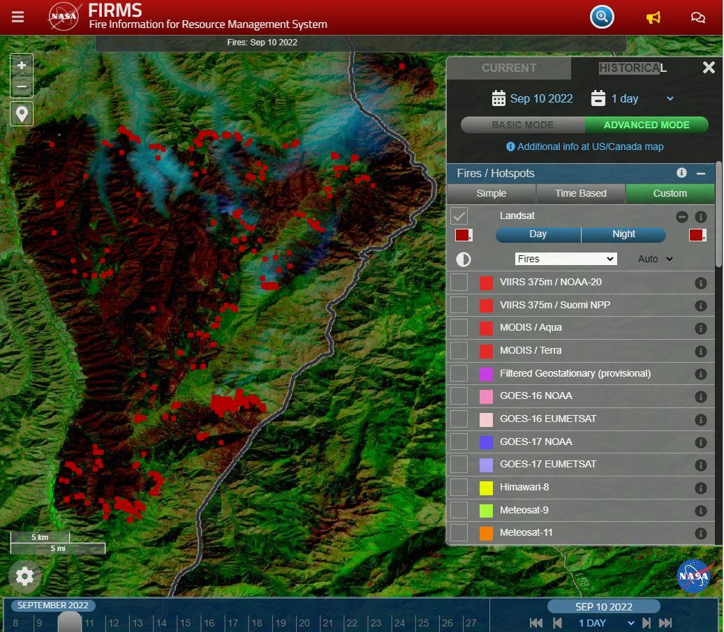
Depending on the instruments and the data available, satellite observation can help identify certain thermal anomalies, follow how a fire is evolving, and map the affected areas.
But the satellite also has limits.
It does not replace a close look, and it does not guarantee that an anomaly will be confirmed immediately.
That is why satellite data become more valuable when they are cross-checked with other sources.
The drone: moving from the wide view to verification
When an alert appears, teams need to know what is actually happening on the ground.
The drone can then play a reconnaissance role.
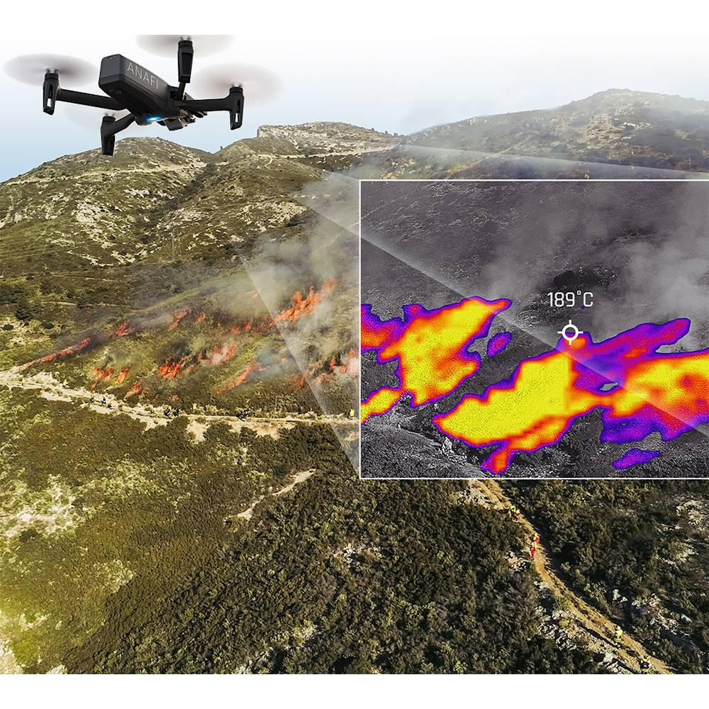
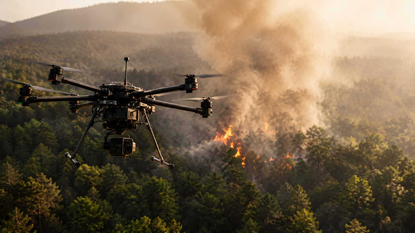
Fitted with a high-resolution or thermal camera, it can provide close-up images of an area that is difficult or dangerous to reach.
The thermal camera is particularly useful when part of the terrain is hard to observe visually.
The drone thus becomes the link between two levels of monitoring:
- The satellite gives a wide view.
- The drone provides a close view.
And between the two, AI and mapping systems can help organise the information.
Sensors can monitor conditions before a fire starts
Detection does not have to begin when the flames appear.
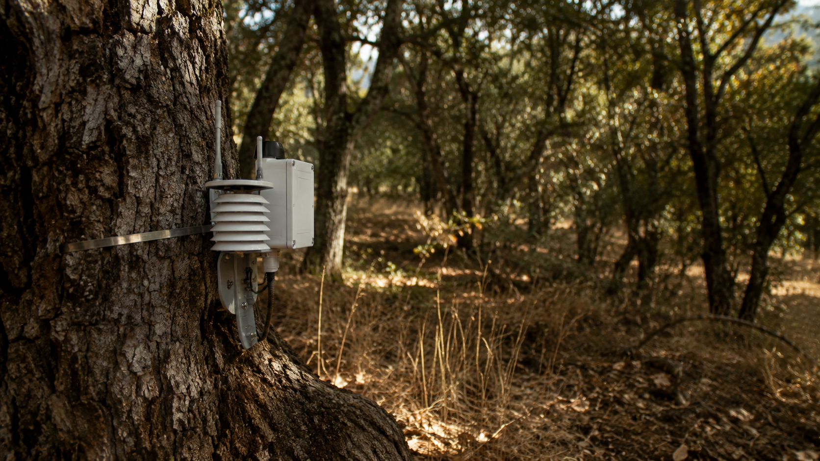
Sensors can monitor certain environmental conditions: temperature, humidity, smoke, or parameters linked to the soil.
Connected to a platform, they can send this data for analysis.
The principle is that of the IoT: physical objects measure their environment and transmit their information to a computer system.
That does not mean a sensor can announce with certainty that a fire is about to start.
It can, however, help identify an unusual situation or an environment that is particularly favourable to risk.
Can the next fire really be predicted?
🌡️
Temperature
An environmental factor that can be included in the analysis of the risk level.
💧
Drought and humidity
Variables that make it possible to describe more clearly the conditions present in an area.
💨
Wind
An important piece of data for understanding the conditions likely to favour spread.
🌲
Vegetation and history
Additional information that can be cross-checked with environmental data.
This is probably the most important question.
The short answer is: not with certainty.
Analysis systems can, however, cross-check several factors:
temperature + drought + humidity + wind + vegetation + history.
The aim then becomes to identify areas with a higher level of risk.
That is very different from an exact prediction.
Saying that an area is more vulnerable does not mean a fire will necessarily start there.
This distinction is essential if AI is to be used in situations this sensitive.
Mapping turns data into decisions
An isolated piece of information is rarely enough during a response.
Teams need to understand the situation as a whole.
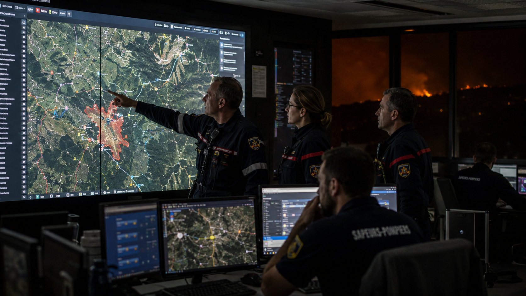
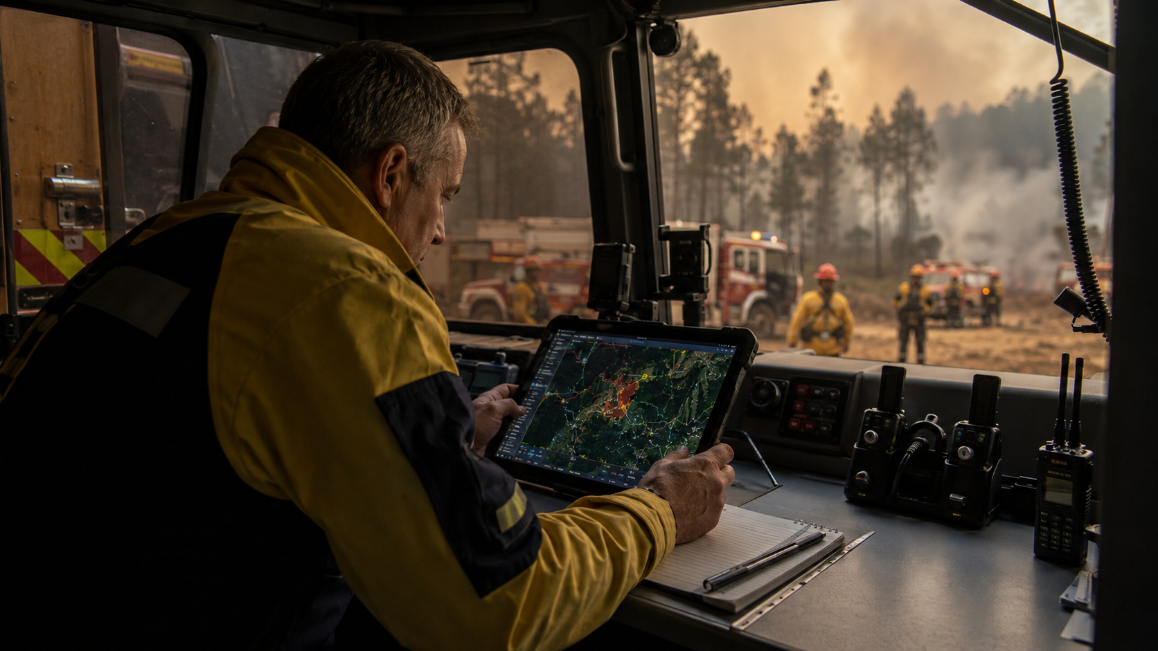
GIS systems can bring different information together on one map: the position of the fire, areas already affected, roads, terrain, weather data, threatened sectors, and information sent by the teams.
The result is much more usable than a series of separate data points.
{{ARTICLE_IMAGE}}
The question is no longer only “where is the fire?”.
The aim is to understand:
- where it is going;
- what it is likely to reach;
- which areas are hard to reach;
- where the teams should focus their attention.
The ideal scenario: several technologies, one single chain
🛰️
1. Detection
A satellite detects an anomaly.
🧠
2. Analysis
AI analyses the data and triggers an alert.
📷
3. Verification
A ground camera and a drone provide additional information.
🗺️
4. Decision
Mapping brings the data together to give the teams a usable picture.
Let us now imagine a complete situation.
A satellite detects an anomaly.
AI analyses the data and triggers an alert.
A ground camera provides a second source of information.
A drone is sent to check the area.
Its thermal camera identifies the hottest sectors.
Weather data indicate that the wind could favour the spread.
The mapping system brings all of this information together.
The teams then have a more precise view of the situation.
This is probably the real future of the technological fight against fires: not a magic machine, but a connected ecosystem.
What this can change in Morocco
For Morocco, this approach deserves particular attention.
Monitoring large forest areas, sometimes mountainous or hard to reach, can benefit from tools able to observe at several scales.
The value can concern detection, monitoring, mapping and decision support.
In regions and territories near Tanger, Tétouan, Chefchaouen, Rabat, Marrakech, Fès or Agadir, the technology must still be designed as a complete system.
A drone without a reliable network is not enough.
AI without good-quality data is not enough.
A satellite without operational analysis is not enough.
The real question is therefore less “which technology should we buy?” than “how do we connect all of these technologies effectively to the teams that actually respond?”
The limit that is often forgotten
⚠️
False alerts
A poor image or incorrect data can trigger an alert that needs to be checked.
📡
Connectivity
An interrupted connection can delay the transmission of important information.
🌦️
Changing weather
A rapid change in conditions can make an estimate less reliable.
👤
Human expertise
The algorithm can be wrong, and human expertise remains essential in order to confirm and decide.
The more automated a system becomes, the more the quality of its data matters.
A poor image can trigger a false alert.
An interrupted connection can delay information.
A rapid change in the weather can make an estimate less reliable.
And an algorithm can always be wrong.
That is why technology must remain a decision-support tool.
In an emergency, human expertise remains essential in order to confirm, interpret and decide.
And tomorrow? Monitoring that is almost continuous
The next step could be even more integrated.
- Satellites could provide the wide view.
- Sensors would monitor certain areas continuously.
- AI would analyse the changes.
- Drones would check the alerts.
- Mapping would show how the situation is evolving.
- The teams would receive a usable summary.
This scenario does not mean that every forest will be monitored perfectly.
It shows, rather, the direction technology is taking: from monitoring that is mainly reactive to monitoring that is more connected and more anticipatory.
Our Global Zone analysis
The most interesting part of this change is, in the end, neither the satellite, nor the drone, nor AI taken separately.
It is the way they work together.
For a long time, each technology worked as a separate tool.
The next step is to make them communicate.
The satellite sees far.
The sensor measures.
AI analyses.
The drone checks.
Mapping organises.
And the human being decides.
This is the chain that can genuinely save time.
And when a fire is burning, a few minutes can sometimes be worth a great deal.
Verdict
Technology cannot prevent every forest fire.
It also cannot predict the next outbreak with certainty.
But it can improve one essential thing: the time needed to go from the first signal to a situation the teams understand.
And that may be where artificial intelligence, satellites, drones and sensors can have their most concrete impact.
The future of fighting fires will probably not be a single technology.
It will be a system able to turn thousands of data points into one simple piece of information:
where is the danger, how is it evolving, and what needs to be done now?
❓ FAQ — AI, forest fires and monitoring technologies
How does AI detect forest fires?
It can analyse images and environmental data in order
to identify anomalies that may correspond to smoke, heat
or unusual conditions.
Can satellites detect a fire?
They can help monitor vast territories and
identify certain thermal anomalies or changes linked
to fires.
What role do drones play?
They make it possible, in particular, to obtain a close view of an area
and can use thermal cameras to observe sectors
that are difficult or dangerous to reach.
Can AI predict a fire?
It can help identify areas with a higher
risk by cross-checking different data, but it cannot guarantee
exactly where and when a fire will start.
Are IoT sensors useful?
They can monitor certain conditions such as temperature,
humidity or smoke and send this information to an
analysis platform.
Can technology replace firefighters?
No. It mainly serves to improve monitoring, analysis
and decision support. The response and the operational decisions
remain human.
ESA — Warranty, stock and after-sales support matter as much as forest fires itself.
A careful look at forest fires avoids paying for a feature you will not use.
Global Zone customers usually ask about forest fires when they compare two close options.
Treat forest fires as one criterion next to battery life, noise, weight and updates.
Nothing in forest fires replaces checking the exact model number on the box.
For a shop in Morocco, forest fires should be read together with local availability.
If you are deciding now, keep forest fires in view before the price or the spec sheet.
The useful reading of forest fires is what changes for a buyer in Morocco, not the slogan.
Warranty, stock and after-sales support matter as much as forest fires itself.
A careful look at forest fires avoids paying for a feature you will not use.
Avis des lecteurs
Votre avis compte
Partagez votre expérience et aidez d’autres lecteurs à mieux comprendre ce sujet.
Soyez le premier à donner votre avis.

